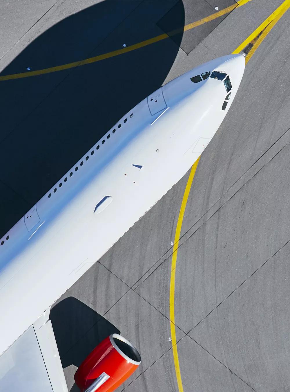
MITRE-developed tools are providing the FAA with faster, more fine-tuned information about too-close encounters involving aircraft on or near the Earth’s surface.

Aviation Safety Assessments Cover New Ground
Mountains, trees, cell towers, and grain silos are just some of the hazards aircraft must avoid when flying close to the ground. Likewise, on the airport surface, aircraft must maintain a safe distance from luggage handling carts, fuel trucks, and other ground-based vehicles—as well as from aircraft coming in for a landing.
When they don’t, the Federal Aviation Administration (FAA) wants to know—and quickly—so it can determine why and take action to prevent recurrences.
Thanks to new MITRE-developed capabilities, the FAA is gaining enhanced insight into safety issues in the air and on the ground and is better able to prioritize events requiring deeper investigation.
These new capabilities fall within an umbrella capability known as Aviation Risk Identification and Assessment (ARIA). An “Airborne” facet of ARIA was deployed in fall 2020, providing the FAA with an automated way to analyze surveillance data from the entire U.S. airspace system. Airborne ARIA identifies aviation events that might pose a safety concern.
It also ranks such events by severity so FAA investigators can focus their attention on the incidents representing the greatest potential risk.
Examining Safety on the Surface
Airborne ARIA was only the beginning. On October 1, 2021, the FAA deployed Surface ARIA, which examines risk events occurring on the airport surface or very close to it.
Surface ARIA obtains data feeds from 43 of the nation’s busiest airports. The feeds capture not only aircraft position information but also a view of activity on the surface—including the movements of airport shuttles, fuel trucks, and even nearby boats.
“What transforms that data into a risk picture are the algorithms we developed for Surface ARIA,” explains ARIA project leader Jon Parker. “The algorithms use vehicle position, trajectory, speed, and other factors to identify events with a potential risk, rank them, and report them to the FAA for further investigation.”
Previously, the FAA depended only on voluntarily submitted reports and a manual process to identify safety issues warranting additional review.
“Surface ARIA provides a much more comprehensive safety picture,” says David Kun, principal developer of the Surface ARIA capability. “It provides investigators with information on possible risk events based on data rather than voluntary reports and does it daily. It also automates the ranking process so they can focus their attention where it’s needed most. That’s much more efficient.”
The capability, which the FAA has been testing since 2019, has already detected a variety of events warranting further analysis, including aircraft crossing active runways, runway overruns, and aircraft taking off near other vehicles.
In addition to identifying individual events, Surface ARIA looks for patterns so systemic risks can be identified and addressed. Some of the patterns recognized by Surface ARIA identified issues previously unknown to FAA investigators.
At Boston Logan International Airport, for instance, Surface ARIA detected aircraft landings that occurred near boats passing in front of the descent path.
“That prompted an FAA effort to improve coordination with maritime traffic,” Kun says.
Identifying Close Encounters with Terrain
Outside the airport environment, MITRE is working with the FAA to develop a capability that uses a sophisticated algorithm to identify events that may pose a risk of collision with terrain or other obstacles, such as windmills, buildings, and tall trees.
“Today, the FAA conducts investigations into the causes of actual flight-into-terrain events, or near-misses resulting in filed safety reports,” Parker explains. “However, there’s never been a way to use data to assess events representing a possible risk between aircraft and obstacles on the ground.”
Now there is. It’s a MITRE-developed algorithm known as Controlled Flight into Terrain (CFiT), where “controlled” means the aircraft was functioning properly.
“CFiT identifies and ranks events representing possible risks associated with terrain or obstacles,” says Van Hare, CFiT developer. It uses terrain, obstacle, and historical flight trajectory data to create probabilistic risk values.
“In other words, the algorithm ties each point along a flight trajectory to information about all obstacles in the vicinity, whether natural or manmade,” explains Trad Groover, who now leads the CFiT effort. “It then considers other factors—such as the aircraft’s speed and its ability to maneuver away from obstacles—to assign a numeric risk value to each point along the projected path.
“If an aircraft got too close to an obstacle, the algorithm would pick it up. That means the riskiest events can be flagged for deeper study.”
MITRE and FAA personnel are currently working together to refine CFiT’s risk rankings, with the goal of formally deploying the CFiT capability by October 2022.
“Now that Surface ARIA has been added to Airborne ARIA—with CFiT to follow soon—the FAA is gaining a far more comprehensive safety picture than was previously possible,” Parker says.
“And with the insights these new capabilities offer, FAA safety experts can make better-informed recommendations for enhancing air traffic safety—now and in the future.
Join our community of innovators, learners, knowledge-sharers, and risk takers. View our Job Openings.